TurboWin


The system is designed to be easy to use and offers a simple presentation of vital information such as vessel position, speed and course, as well as your own tracks, marks and areas.
TurboWin also offers many options to tailor the package to your requirements. The system can be loaded with highly detailed ENC charts for navigation. The AIS module allows identification and tracking of other vessels, while tidal charts provide clear current predictions.
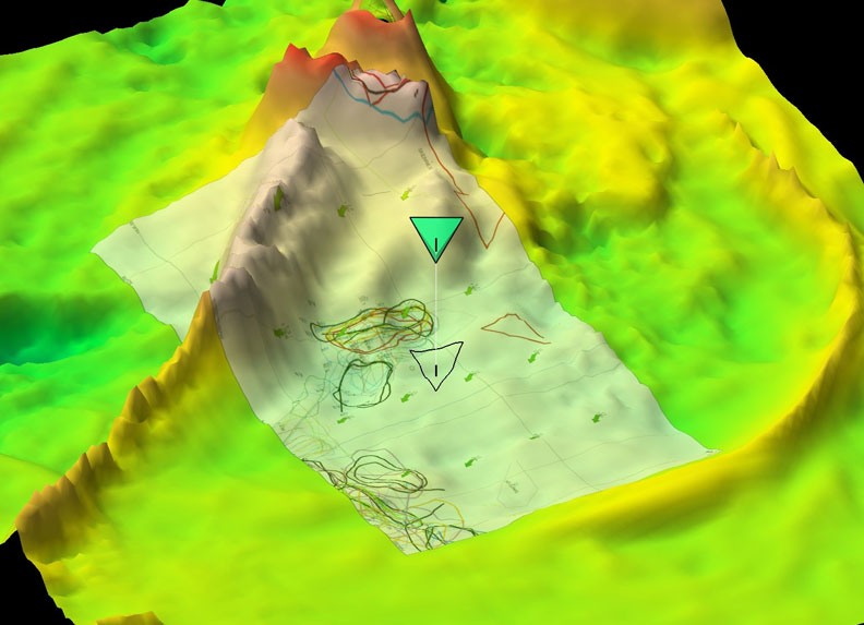
We also offer sediment charts and detailed 3D imaging to allow you to plan ahead for maximum efficiency. Seafield Navigation can also convert data from most existing plotters so that it can be read by TurboWin, ensuring that you don't lose any important historical information.
The splashproof stick controller makes frequent operations with gloved hands easy.
To find out more download our brochure. You can also access these datasheets AIS, Data Transfer, High Resolution 3D.
Watch Our Turbowin Twin Screen Videos
Standard Features
- 2D contour drawing with Personal Bathy Database from echosounder
- Powerful fishing data management
- 24V galvanic isolated dc power system
- 4 optoisolated inputs
- Connects to autopilot and steers vessel
- DECCA lane display
- Weather forecast overlay
- Route planning
- Direct read of Maxsea, Quodfish, Transas data
- Conversions from Trax, Fishmaster, CVP, Shipmate Furuno , Simrad, Penta with every plotter
- 21”, 19”, 17”, or 15” 24 Volt screens
- Almost unlimited display of fishing data (marks, tracks, areas etc)*
- UKHO S57 or CMAP Max/NT charts
- Anti grounding warnings
Optional Features
- Tidal stream prediction display - saves on fuel
- 3D imaging with free depth database
- AIS & ARPA tracking, collision avoidance & tactical awareness (Early warning of special targets)
- Trawl door tracking and dynamics monitoring (IXTRAWL ,ITI,Notusetc)
- Pair Trawling module (master vessel controls slave steering etc)
- Roxann / Seascan / JRC ground discrimination
- Sedimentology Database from BGS
- Wrecks Database
- Scales interface links catch to individual tows for trip planning
- Extra optoisolated inputs can be added